| Project Description |
Project Dates: 2001-2008 |
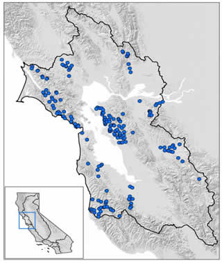
During the first five years of SWAMP, the San Francisco Bay Regional Water Board’s program focused on monitoring watersheds throughout the region on a rotating basis and conducted studies to measure the concentrations of contaminants in fish. To assess aquatic life protection in wadeable streams, a suite of indicators including marcroinvertebrate, physical habitat assessments, continuous basic water quality monitoring, water column chemistry and toxicity, and sediment chemistry and toxicity were assessed. Assessments of aquatic life protection were done in 34 wadeable streams. Trash assessment methods were used at 26 sites, in 14 water bodies. Fish were evaluated for safe to eat assessment at 10 lakes, along the San Mateo coast and in Tomales Bay.
Monitoring Objectives
This project was designed to assess condition of surface water in the San Francisco Bay area.
- Monitor watersheds throughout the region on a rotating basis to establish baseline information for future studies.
- Assess aquatic life protection in wadeable streams
- Develop and apply trash assessment methods across the region
- Evaluate fish outside of the San Francisco Bay for safe to eat criteria
Survey Area
|